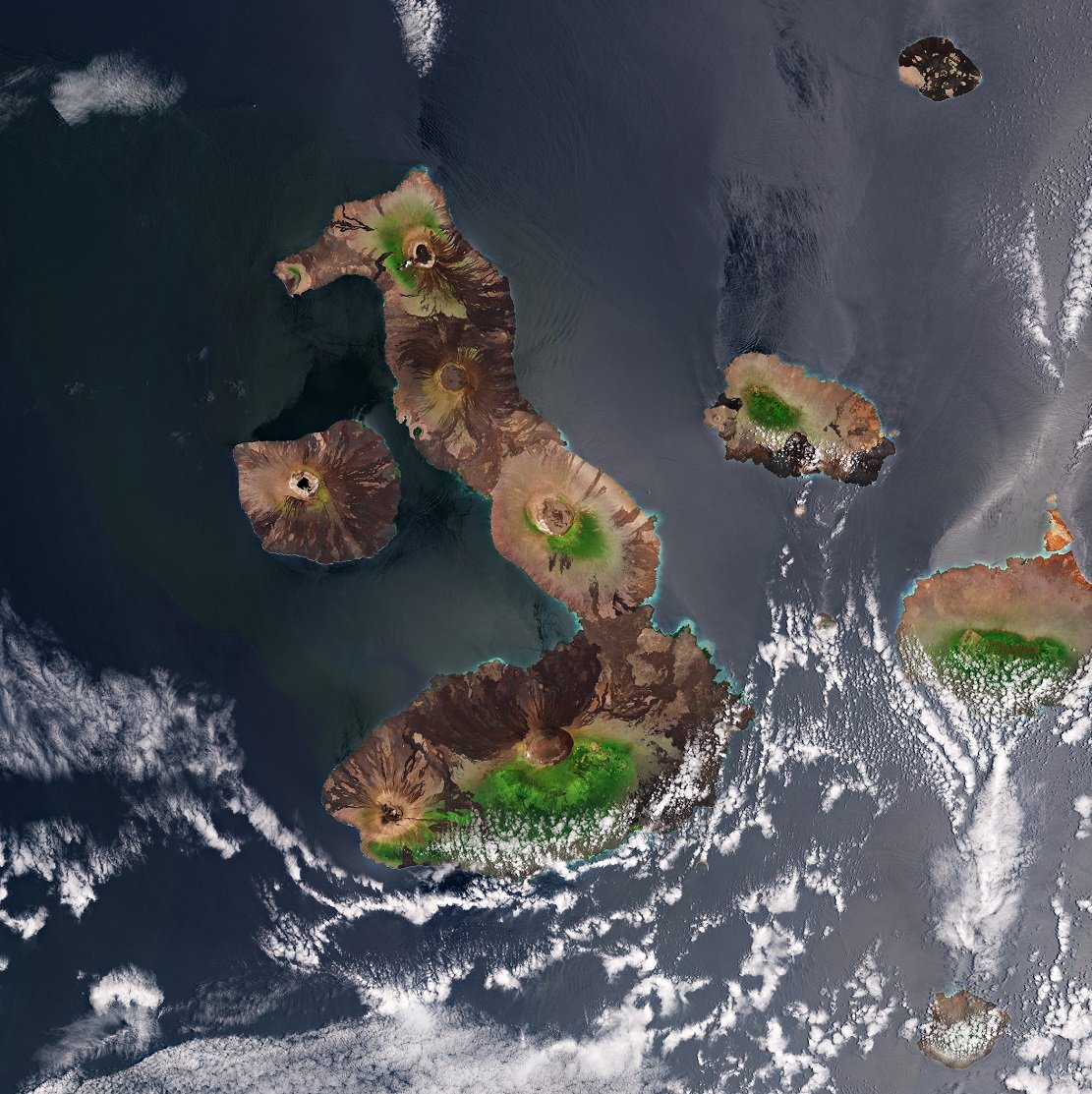
The Ozogoche lake complex in Sangay National Park is considered one of the most important bird sanctuaries in Latin America.
Ozogoche Lake Complex.
Texto: Patricio Añazco / Fotos: Jairo Cabrera.
The Ozogoche Lagoons are a complex of lakes within the Sangay National Park, where 327 lagoons have been identified, including the Altar and Ozogoche lake systems, and the lagoons of Atillo, Sardinayacu, Culebrillas, Negra and the hot springs of El Placer. The Ozogoche lake system is considered a bird sanctuary in Latin America.
Location and access to the Ozogoche Lakes complex.
The Ozogoche Lake complex is located 20 km south of Guamote and 36 km southeast of the town of Palmira. The best known access is between the towns of Alausi and Palmira. Half of the route is perfectly paved. The villagers who look after the lagoons warn tourists not to drive onto the banks of the lagoons. After a 25-minute walk, during which you have to be careful where you step, as the whole area is marshy, you will be rewarded by arriving at this magnificent place.
From Alausí, take the road to Riobamba; after 21.2 kilometres you will reach the turn-off to Charicando. From there it is 22.3 kilometres into the moorland (pre-asphalted) to the turn-off for Totoras and the Ozogoche Lagoons. It is advisable to avoid the wettest months (January to March) as the mud on the road is permanent.
The Ozogoche Lake Complex
The lagoons are deep, cold and have a striking dark blue colour. They are the site of a curious phenomenon, the sacrifice of birds, for which the Cuvivi Cultural Festival is held in September, with various events and performances in which the Cuvivi ritual is performed by two sacred persons of the community, the so-called “yachaks or shamans”.
In the surrounding area, you can enjoy a variety of activities such as camping, hiking, bird watching and mountain biking. This place in Ecuador is very well known nationally and internationally because of the migratory birds that come here between August and September. It is scientifically believed that these birds, on their migration from North America, in their desperation to quench their thirst, fall into the water due to the long distance they have flown and die massively due to the water temperature.
Complejo lacustre Ozogoche.
Cubillín and Magtayán Lagoons
These are the largest and most accessible. The Cubillin lagoon covers about 8 square kilometres, followed by Magtayan with 4 square kilometres.
The Cubillín lagoon has crystal-clear waters and a constant breeze on its surface that creates waves of 20 to 30 centimetres. One of its sides is bordered by a 400-metre-long beach. The lagoon is surrounded by vast expanses of grassland and marshes. These formations are typical of the nature that surrounds the marsh. Birds of prey can often be seen perched on the rocks or flying over the water. The most common bird in these areas is the curlew.
The Magtayán lagoon, on the other hand, has a weaker breeze. It is 1.5 kilometres from Cubillín. On one side of the river that feeds the Magtayán lagoon, there is a stretch of flooded land covered with totora reeds (Typha daminguensis). They are called the Ecantadas Lagoons because every year birds of the Scolopacidae family, commonly known as cuvivis, mysteriously commit suicide here. There are several hypotheses: One is that they are migratory birds that fly thousands of kilometres. When they reach the Ozogoche area, the furcula (bones that allow the wings to swing) are paralysed by the intense cold and they fall into the lagoons. This strange phenomenon occurs mainly in September in the Verdecocha lagoon, which is why dances, ceremonies, horseback rides, boat trips and other interesting activities take place during this month.
Other activities and sights.
Between the lakes is the Soroche Hill, which is icy in cold or dry weather. There are also the mountains of El Púlpito, Rumiñahui and others, whose impressive peaks can be seen on a clear day. You can visit heights such as Soroche, Sasquin and others that make up the Achipungo mountain range.
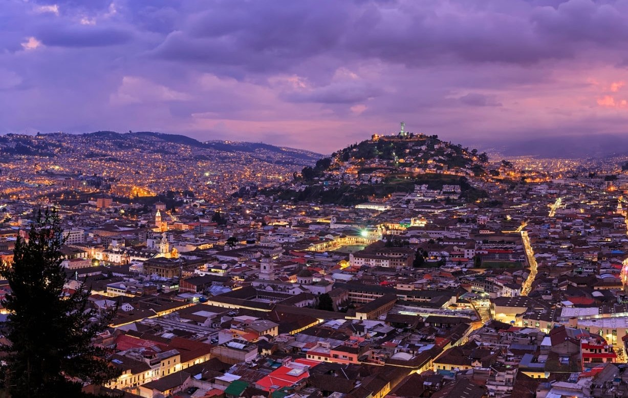
Welcome to Trail Forth Journal! I really hope you enjoyed finding out a little more about Ecuador! If you have any questions at all, I'm always here to help, so please don't hesitate to get in touch. I would be very grateful to hear from you!