Zaruma, with its centuries-old traditions. It is a city of tangible and intangible cultural heritage of great value to UNESCO.
General view of Zaruma: 1900 – 1909
Words: Patricio Añazco / First Photo : Instituto Nacional de Patrimonio Cultural / Coloured: Jairo Cabrera. / Next Photo: Jairo Cabrera / Photo 360º: David Haro / Map: OpenStreetMap.
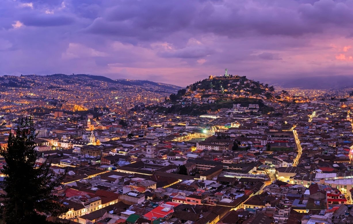
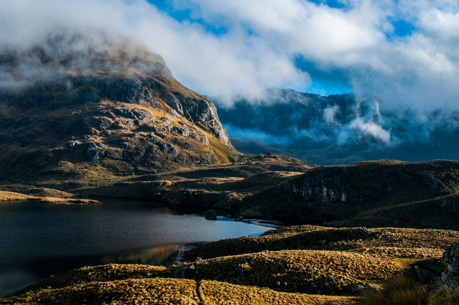
Zaruma is located on the slopes of the western Andes, at 1,200 meters above sea level, amidst rugged terrain with steep slopes that soar from 500 to 3,500 meters high in just 20 kilometers.
The higher areas feature deep valleys and canyons, the headwaters of the Moromoro, Calera, Amarillo and Luis Rivers, which join to form the Puyango River. The Puyango then joins the Tumbes River, forming the important watershed known as Tumbes in Peru, which continues on to the Pacific Ocean.
Zaruma Weather.
This region belongs to the Premontane Rain Forest life zone, with average annual temperatures from 18°C to 24°C, so the predominant climate in Zaruma is moist and subtropical. Average annual precipitation in some areas is from 2000 to 4000 mm and there are two clearly defined seasons: winter from January to April, and summer, April to December, with the driest months between July and November. Because Ecuador straddles the equator, parallel 0º, the seasons are caused by ocean currents: winter is the rainy period, under the influence of the warm El Niño current, whereas summer is influenced more by the cold Humboldt current and is generally the dry season.
Zaruma’s mining history dates back to pre-Hispanic times, colonial times and as the independent republic of Ecuador. This has left its special mark on the city and the people. Being a mining city, with centuries-long traditions, and incorporating influences from industrialized countries in the late 19th and early 20th centuries, has generated unique features reflected in the material heritage: urban design, architecture, the natural and cultural landscape, and in the intangible heritage: oral traditions, festivals, foods and intimate knowledge of Nature and the universe.
The mining industry in Zaruma.
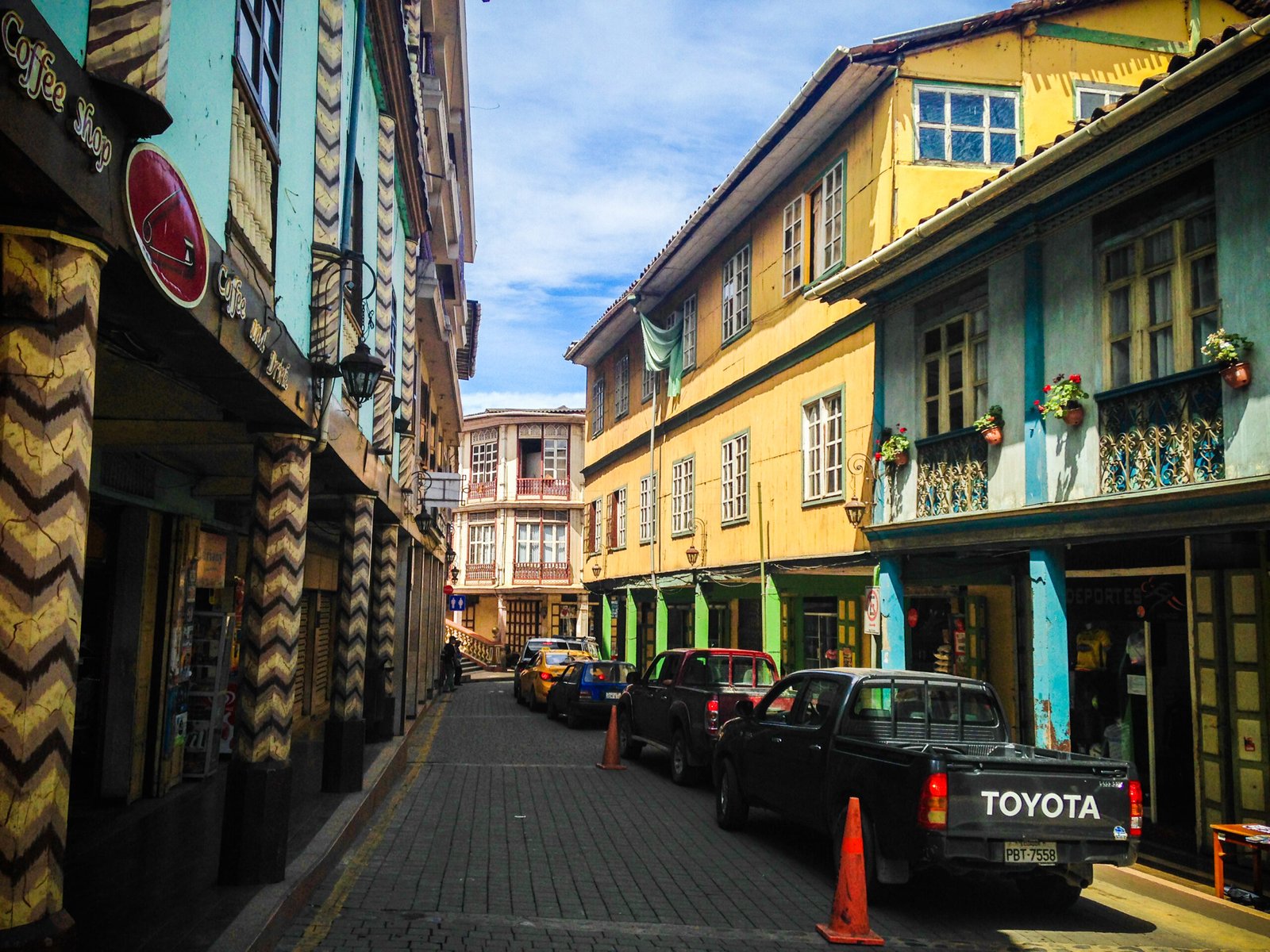
Downtown Zaruma today.
Zaruma, a mining city built amidst a mountainous subtropical landscape in southern Ecuador’s Andes, not following the checkerboard layout so characteristic of cities founded in that period, developed an appropriate regional model and style of architecture, adapted to the mountains’ topography, and embodied in its unique streets, wooden houses and family food gardens; in the persistence of long mining shafts and their entryways.
In the fields of habitat formation, environmental management, urban development, wooden architecture and building technology, the outgrowth of the mining boom, Zaruma contributes its expertise to the world for solving functional, structural and formal problems, adequately blending ancestral wisdom with technological innovations that have developed contemporaneously.
Zaruma's architecture and its value for UNESCO.
According to UNESCO, organic urban development, atypical for a city of Spanish colonial origin, and construction of wood, used in Zaruma as a continuation of pre-Conquest building traditions, influenced by formal building codes from colonial times and the 19th century, and the presence of mining galleries such as El Sexmo, make Zaruma a representative example, unique in a significant period of cities and human activity in the 19th century and the first third of the 20th century.
The mining city of Zaruma is also an exceptional example of a human settlement generated by mining activities in a mountainous setting with irregular topography, where local culture has been enriched by diverse sources and influences. The city is vulnerable, both because of the mines underfoot and because most of its buildings are made mainly of wood. Interaction with the environment and the pressure of new ways of life could confront Zaruma with irreversible changes.
Zaruma’s authenticity is expressed in the mines’ components, particularly, el Sexmo, and Zaruma’s organic urban development, with its porches and wooden architecture. This city was born and grew with an organic model or pattern, atypical of Latin American colonial cities formally founded at the time. This became its distinctive flavor, enabling observers to read the city’s history of construction, and understand how mining modeled its landscape and the city, while determining the booms and slumps marking major differences in the population between colonial times and the republic.
Zaruma Map
Unique architecture on the Ecuadorian coast.
Zaruma’s uncommon architecture, blending the creativity and craftsmen’s expertise with the requirements of a life oriented toward mining production and its administration, has responded technically, with appropriate solutions, which have influenced the region’s architecture, in the use of materials and in building systems and styles, as well as the strong traditions in local cuisine, customs, festivals and other expressions of intangible heritage.
The property’s integrity is conserved by its historical mining tradition which is continuing, by adaptation of contemporary architecture, conserving formal and constructive design, techniques and adaptation to lifestyles.
These components show that Zaruma continues to maintain elements of authenticity in its neighborhoods, its natural referents to its topography, the hills surrounding the city, and its mining activity.