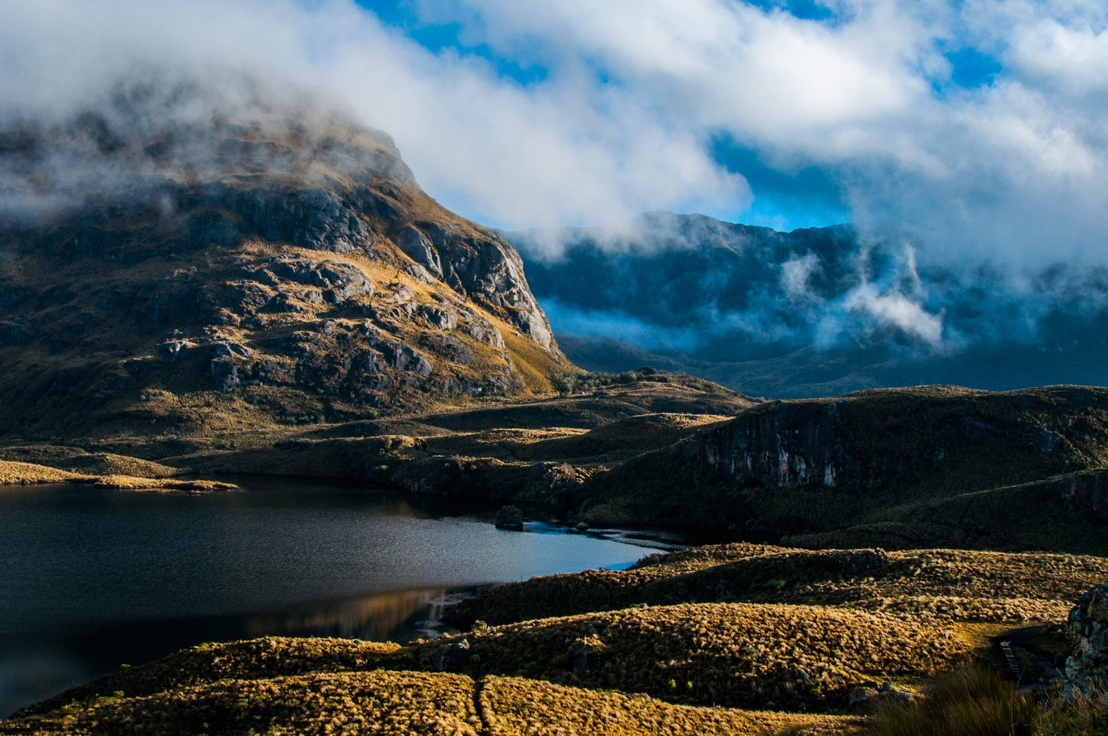
Cajas National Park is in Azuay province, declared by UNESCO as one of the core zones of the Macizo El Cajas Biosphere Reserve.
Words & Photos: Trail Forth Journal.
Cajas National Park is in southern Ecuador. Azuay Province. From Cuenca it takes 35 minutes in a westerly direction to reach the park. From Guayaquil it takes 3 hours in a south-easterly direction. El Cajas is one of 759 UNESCO-designated biosphere reserves in 136 countries.
Where does the name Cajas National Park come from?
There are two theories about the origin of the name Cajas. The first theory. Cajas is a word from the Quichua language. Caxas, meaning ‘cold’. The second theory is that it comes from the appearance, geological formation and height of its mountains, which visually form boxes surrounding the interior lagoons. Cajas National Park is impressive for its beauty and vast size of 28,544 hectares. At times, the national park seems to have no boundaries. Mountain after mountain and peak after peak caress the sky, with the altitude range in the park extending from 3,152 metres (10,341 feet) to 4,445 metres (14,583 feet) above sea level.
Touring the Cajas National Park.
However, we were surprised to find that there are no volcanoes in this high-altitude location. The active Pichincha volcano has an elevation of 4,784 m (15,696 ft) above sea level. The active Atacazo-Ninahuilca volcano has an elevation of 4,455 m (14,617 ft). Sincholagua volcano (extinct or dormant) stands at 4,873 m (15,988 ft) above sea level. The closest volcano is the constantly erupting Sangay, which is 5,300 m (17,389 ft) above sea level. It is the southernmost volcano in Ecuador’s Cordillera Real mountain range, located in the province of Morona Santiago.
So why did nature concentrate the country’s volcanic activity in the north-central region rather than the south? The answer lies in the fact that this section of the Andes mountain range is older. It is characterised by less volcanic activity and lacks high peaks.
Cajas National Park is home to lakes.
El Cajas 10,000 years ago.
A geologist, professor at a polytechnic university in Ecuador and former Minister of the Environment. During a geographical interview, he explained that approximately 10,000 years ago, Cajas National Park was covered by glaciers. The eroded tops of the mountains in the national park are the result of erosion caused by the ice that was here and then melted to form the large lake system consisting of 786 bodies of water. Of these, 165 are larger than 1 hectare and the remaining 621 are smaller.
Cajas National Park is home to 152 species of bird, 43 species of mammal, 15 species of amphibian and four species of reptile. In 2014, UNESCO designated it as one of the core areas of the El Cajas Massif Biosphere Reserve. The entire area had already been designated a Ramsar Site, or Wetland of International Importance, in 2002.
Hiking and trekking are the main activities in the national park. Everyone wants to go as far as possible in life, and Cajas National Park envelops its visitors in enchanting and impressive landscapes, showcasing its natural wonders.
Location map: Cajas National Park
Here are some recommendations for visiting the National Park:
The national park is a place where you can walk on your own. There are also guided walks for those who would prefer to be accompanied by a professional guide from the Protected Area. There are many benefits and rewards to walking in isolated natural areas: fresh air, contact with wildlife, solitude and, most importantly, discovery.
It is always recommended that you register at the national park checkpoints. One of these is at the Refugio. Registration is very simple and quick. It is important to register because doing so contributes to the conservation of Cajas National Park and the safety of visitors. Cajas National Park is large. Although the park rangers carry out daily patrols, it is difficult for them to be everywhere due to the park’s size of 28,544 hectares and its irregular surface.
The weather in the national park is unpredictable. You can expect frequent frosts, drizzle and fog, as well as days of intense sunshine. According to the weather records, there have been snowfalls and the lakes have frozen due to the low temperatures.
Temperature ranges are an important consideration.
Temperatures in the national park range from -2°C/28.4°F to 18°C/64.4°F. Make sure you bring warm, waterproof clothing; sun protection; water; high-calorie food or chocolate; and comfortable, waterproof shoes.
The refuge is located next to Lake Toreadora. Here you will find parking, toilets, a park ranger service, a restaurant and an interpretation centre. The lake has piers and is one of the most popular places for photographs in the national park. It is also the starting point for the hiking trails. Campfires are not permitted in the national park.
Trail Forth Journal

Jairo Cabrera
🇪🇨 Ecuador
CEO & Developer


